Padria - SP11 ( Trail E 207)
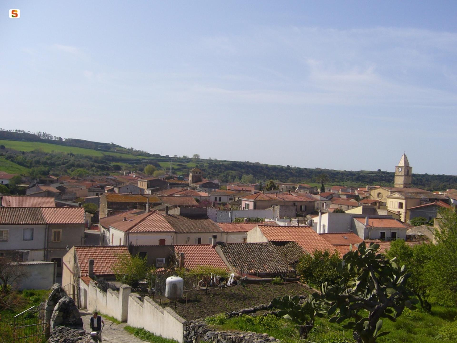
Image credits Sardegna Digital Library
The pathway
Trail data and altimetry

Download trail documentation
Points of interest
Skip POI slider and jump to the next section
Points of interest Nuraghe Santu Pedru 'e Concas
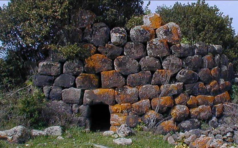
Points of interest Nuraghe Basciu
Opinions
No reviews yet for this path
