From Genna Silana to Gorroppu (B-505)

Image credits Sardegna Digital Library
The pathway
Useful informations
Roadbook
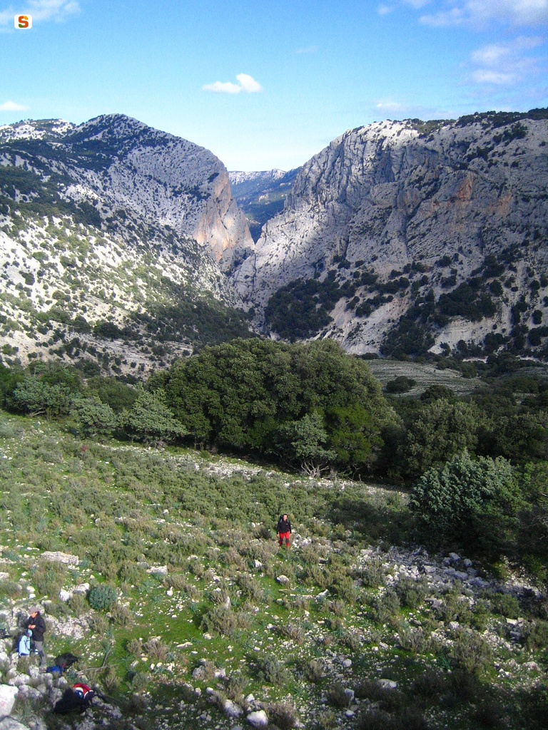
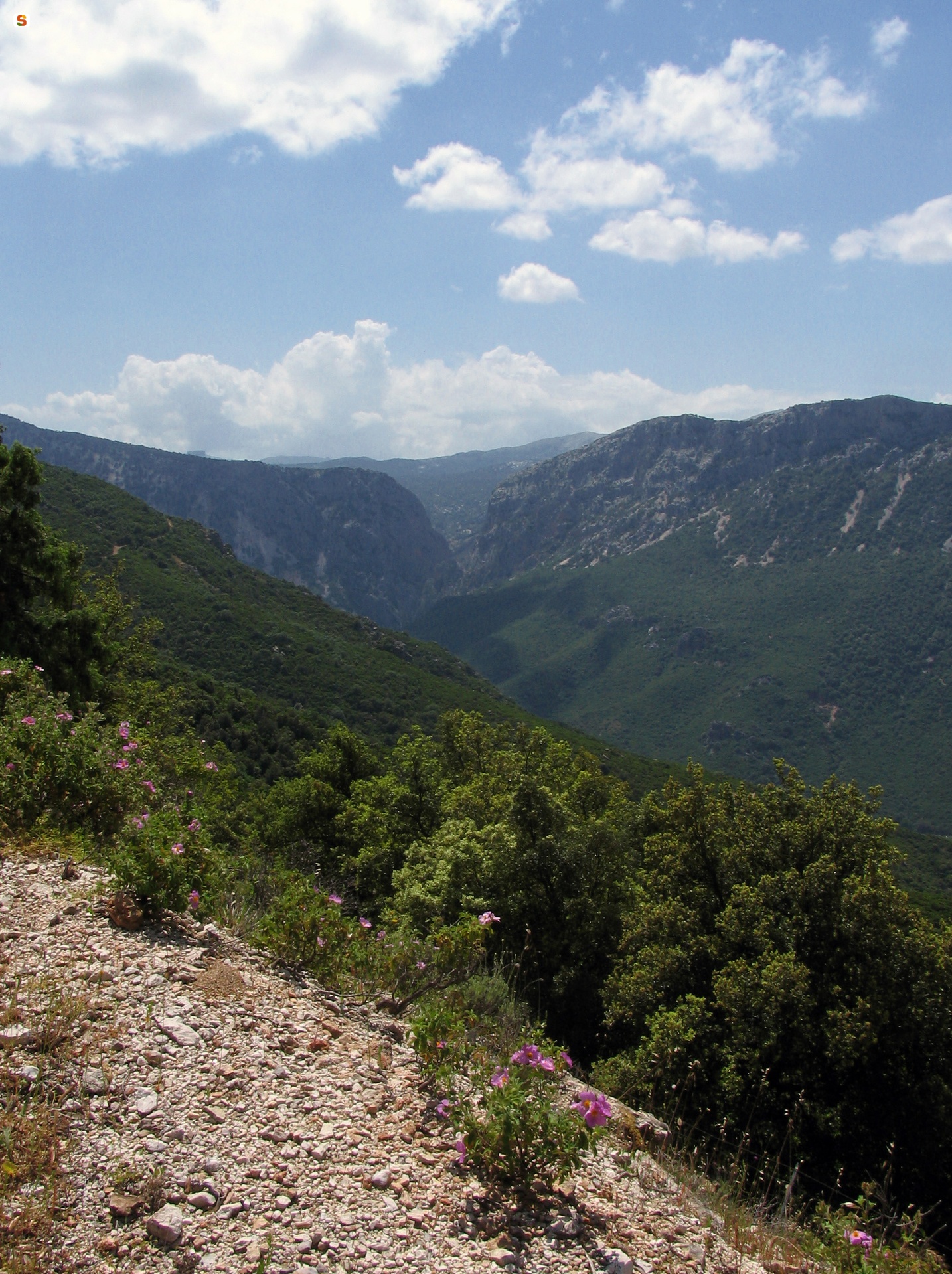
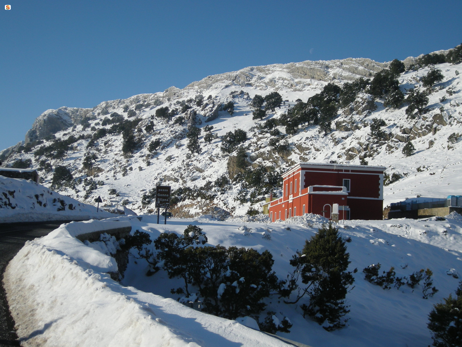
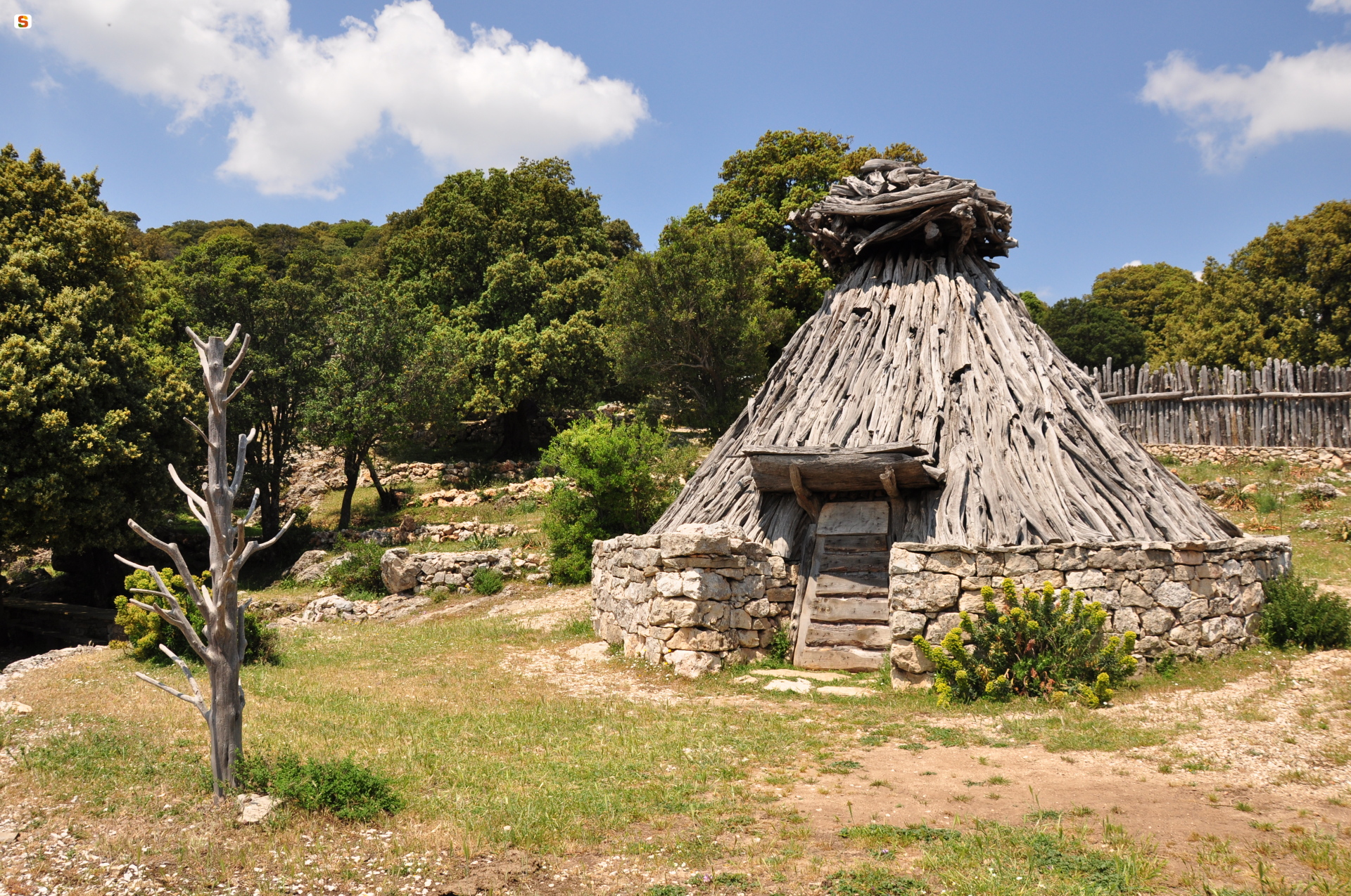
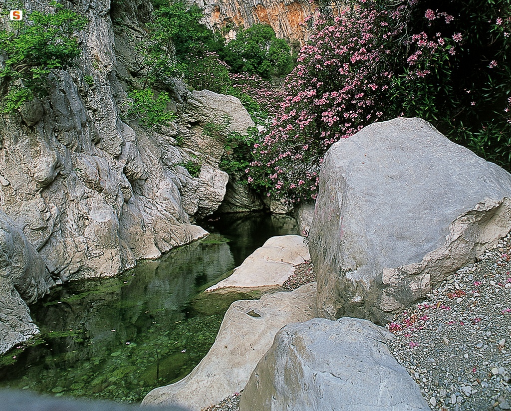
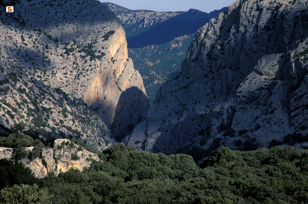
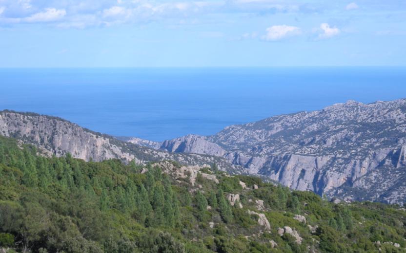
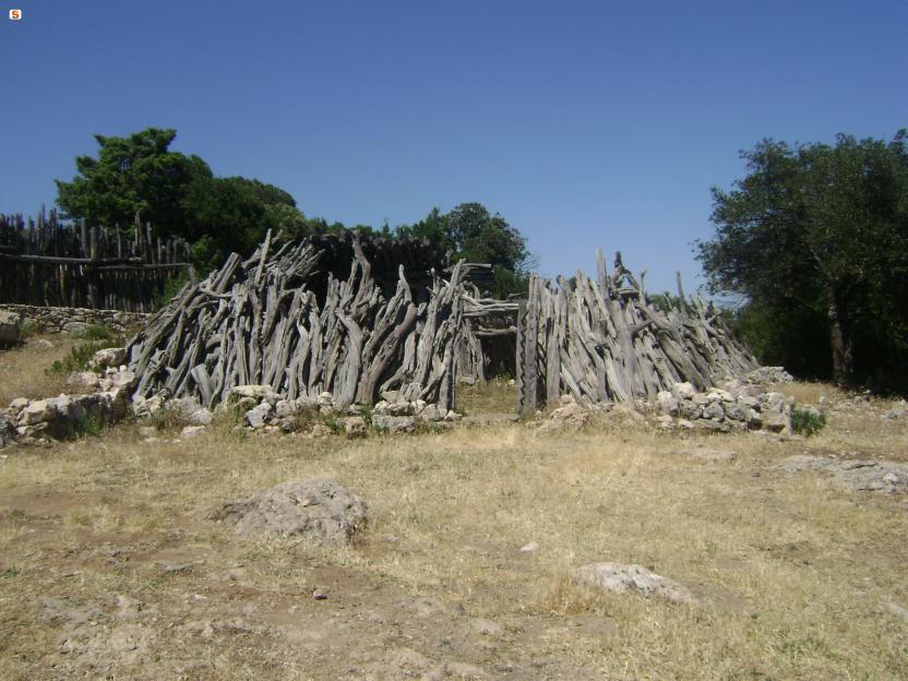
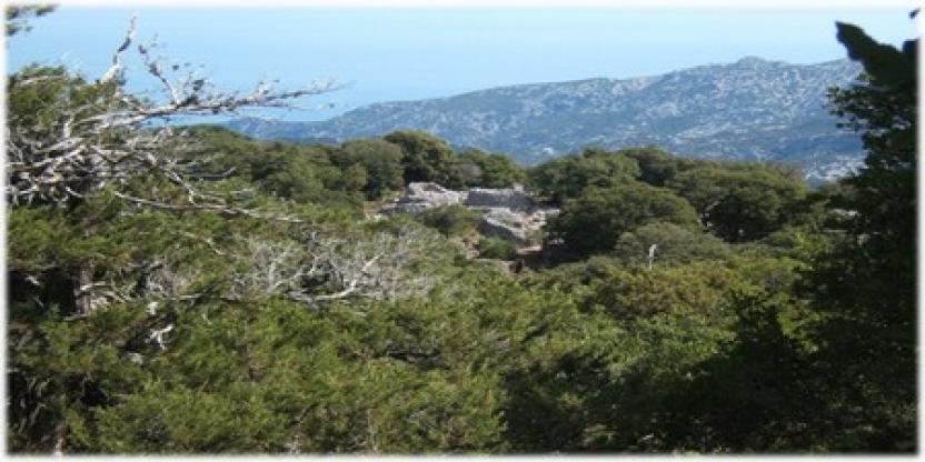
Access to the canyon route is from the Ghenna ’e Silana pass. The first section is characterised by imposing holm oaks, some of them standing isolated, which belonged to the primary forest. On the downhill stretch, you will enjoy jaw-dropping views, come across cuiles (sheepfolds) and walk amidst Mediterranean maquis plants.
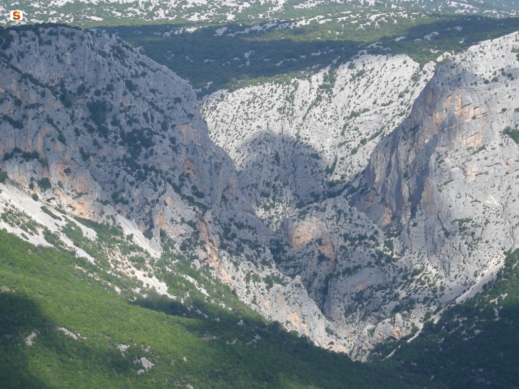
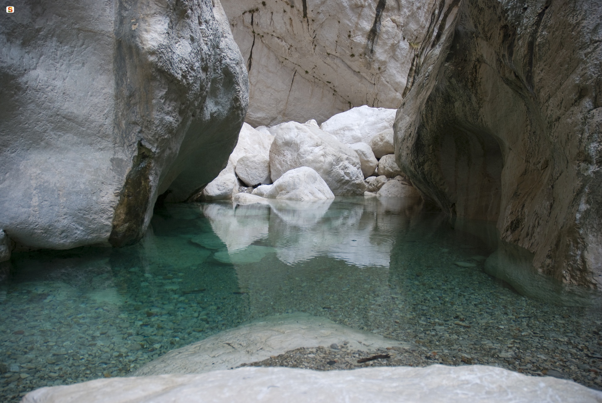
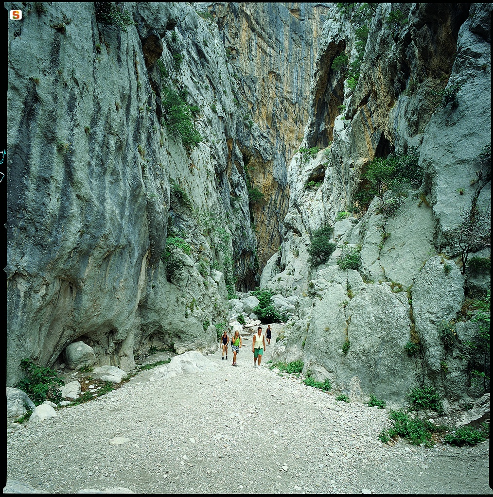
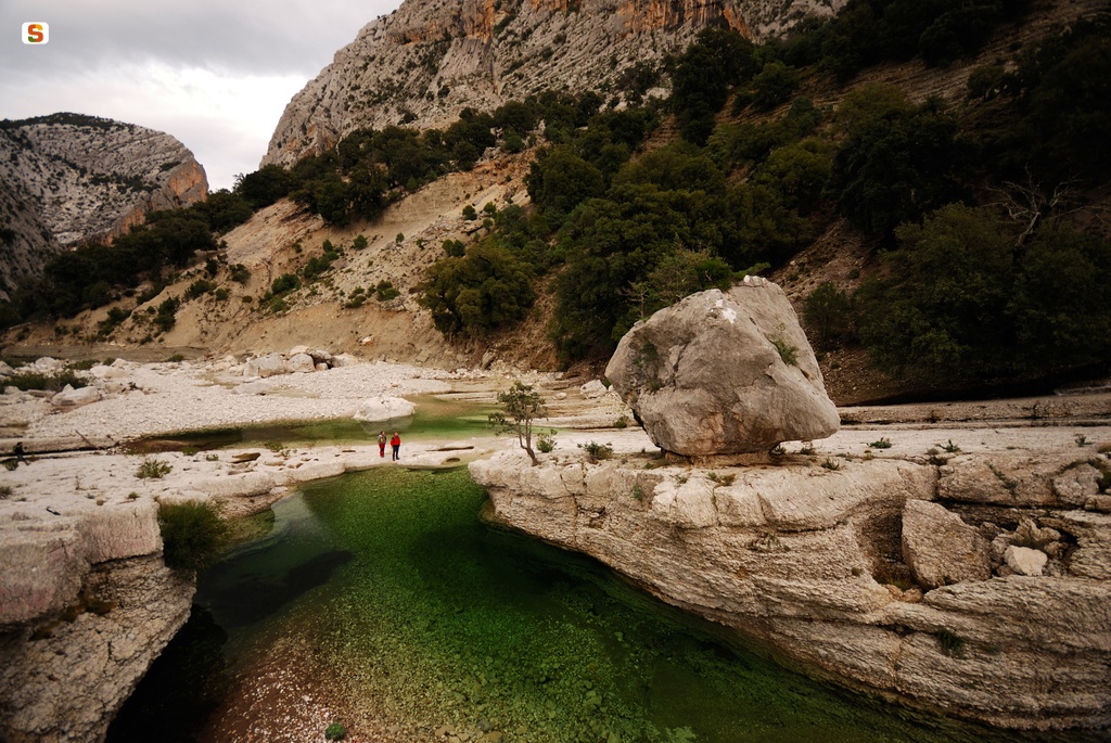
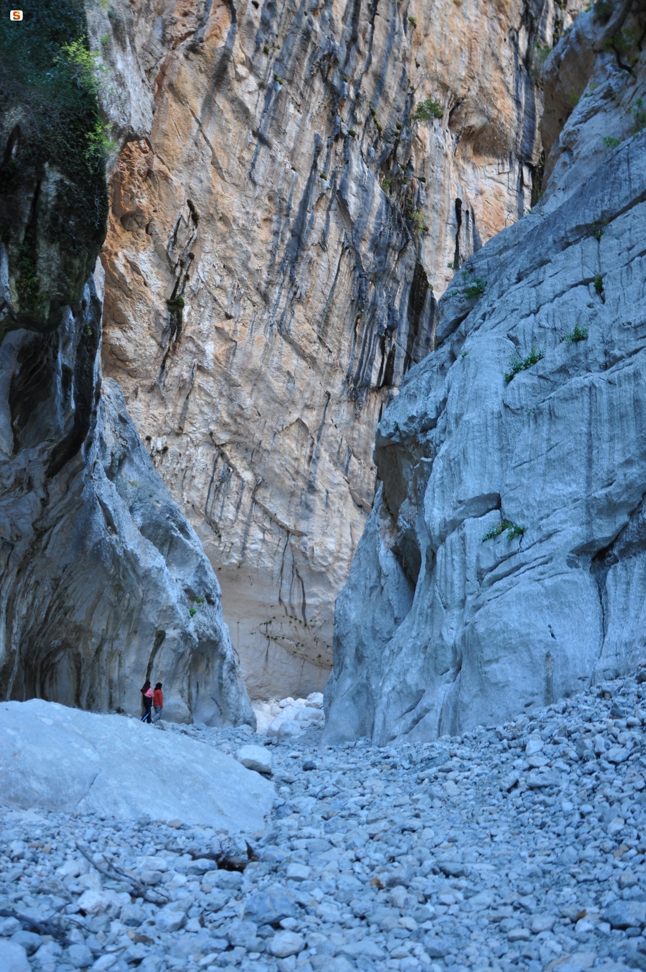
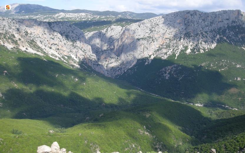
After about 2 hours’ walk, arriving at the bed of the Rio Flumineddu river, you will encounter a magnificent natural spectacle, the entrance to the Gorroppu canyon, one of the deepest in Europe. The gorge, the bottom of which is covered with large, smooth, white boulders, is a deep cleft between the Supramonte of Orgosolo and that of Urzulei, a narrow fissure carved over millennia by the waters of the Rio Flumineddu.
Trail data and altimetry
Photogallery
Download trail documentation
Opinions
Reviews
Samuela
Percorso fattibile per chi ha ginocchia allenate, ben segnalato, impossibile perdersi. Una vista mozzafiato sui monti sardi e il canyon Gurropu è unico
trafisse
Поездка — это не просто способ доехать, а безопасное обслуживание для тех, кто уважает своё спокойствие.
**Фиксированная и выгодная стоимость трансфера — никаких сюрпризов!** Вы оплачиваете ровно ту тариф, которая была показана при бронировании — без наценок.
Платформа действует 24/7, предлагая быстрый прибытие. дорога — больше не ваша забота.
Вы можете контролировать движение транспорта в онлайн, заранее узнавать характеристики шофёра и подбирать желаемый уровень автомобиля — от бюджетного до бизнеса.
Резервируйте заранее — и вы избежите напряжения. Это безупречно подходит для маршрутов в аэропорт, на мероприятия, к знакомым или просто для комфортного путешествия.
Пунктуальность, открытость и индивидуальный подход — вот что делает ваш поездку по-настоящему ценным.


