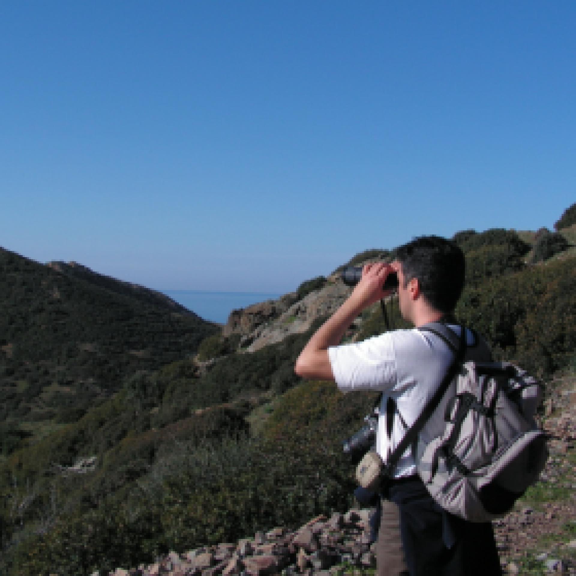
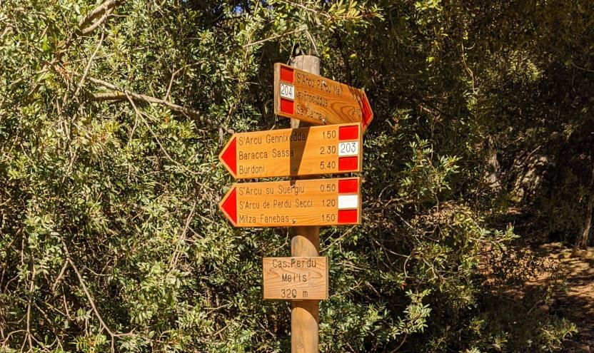
Start website main content

Trekking (experts)

38 pathways

Sentieri di media-lunga percorrenza, dorsali escursionistiche a tappe come il Sentiero Italia, da fare su più giorni e generalmente segnalati. Richiedono di programmare soste/bivacchi e una capacità di muoversi su terreno impervio e fondo impegnativo su pendii ripidi, quote relativamente elevate, orientandosi talvolta con pochi punti di riferimento. Tratti rocciosi esposti, nelle alte vie o lungo costa, con difficoltà tecniche importanti, in territori distanti dell'Isola selvaggia.  Percorrerli necessita di esperienza ed equipaggiamento specifico, o l'accompagnamento con guide esperte!

Escursioni-per-esperti.png

Results

Sentiero Italia (Stage Z14) Sa Barva Loc. Surtana - Monte Maccione

Overview of the itinerary

Sentiero Italia runs the length of the island’s eastern side, covering its most important mountains, in 28 stages.  Starting from the north: it flanks the Monte Limbara massif, crosses the limestones of Mont’Albo and Tuttavista, skirting the Gulf of Orosei, it crosses the Supramonte, Gennargentu and the Tacchi of Ogliastra and reaches Perdasdefogu.  Further south, it passes through Armungia and the Gerrei sub-region. Lastly, it touches on the villages of Burcei and San Gregorio, continuing on the Sette Fratelli massif to the old prisons of Castiadas.

General information on Sentiero Italia (Grand Italian Trail)

Sentiero Italia, or Grand Italian Trail, as also explained on the official website, is a walking route that crosses the whole of Italy, using mainly but not exclusively “registered trails”.   
In particular, in Sardinia, not all the stages of the Sentiero Italia of CAI (Italian Alpine Club) are made of trails already included in the registry of the Sardinia Trail Network (RES), either because they have not yet been tested and approved or simply because they cannot be registered as they do not meet the requirements.  However, as a whole, the Sentiero Italia is the single longest walking route currently crossing Sardinia from the north (S. Teresa Gallura, stage Z 1) to the south (Castiadas, end of stage Z 28), touching on the most fascinating mountain areas in central-eastern Sardinia: the plateau of Buddusò, Tepilora, the Cedrino river valley, the ancient forests of Montes, Perda Liana and the regional forest of Montarbu, Monte Genis, and lastly the regional forest of Settefratelli (among the many crossed by the various stages of this long hiking itinerary).

Information on this stage of the trail

The stage begins by tracing your steps back from the reception facility (book logistical support with Mr. Salvatore Fancello, aka Baddore, at 3470086640) about 800 m from Surtana

After climbing the steep path known as scala di Surtana the path continues (after passing several forks with other trails, on the right Sos Mojos and further on the left scala Cuccuttos) along a valley in the direction of Tiscali.

After visiting the archaeological site, in spring and summer with local guides, and after crossing a narrow gap in the rock, the trail leads downhill to the Lanaitto valleya place renowned for its numerous hiking opportunities. 

After visiting the Nuragic village Sa Sedda e Sos Carros, with the possibility of a guided tour, continue north to visit some sheepfolds (cuili) including Su Vicu, s’Uscradu, Orthini

The next destination is towards Punta Cusidore, via the steep uphill path known as Scala di Sovana , at the foot of the peak, head down heading north, stopping at the recently renovated Intro Ishalas cuile (sheepfold)

Upon reaching the fork with trail 406, head west towards trail 401, which leads to the Monte Maccione stop point.

Itinerary roadbook

Lenght 20.300 m

SI Z14.gpx

Total elevation gain 1 950 metri

Geographical area Supramontes

Sentiero Italia (Tappa Z14) Sa Barva Loc. Surtana - Monte Maccione

In sintesi

Il Sentiero Italia attraversa in lunghezza il settore orientale dell’isola toccandone i sistemi montuosi più rilevanti, in 28 tappe.  Partendo da nord: tocca il massiccio del Monte Limbara, attraversa i calcari del Mont'Albo e del Tuttavista sfiorando il Golfo di Orosei,  attraversa il Supramonte, il Gennargentu, i Tacchi dell’Ogliastra e giunge a Perdasdefogu.  Più a sud, transita da Armungia e dalla subregione del Gerrei. Infine tocca l’abitato di Burcei e San Gregorio, per continuare nel massiccio dei Sette Fratelli fino alle vecchie carceri di Castiadas.

Informazioni generali sull'itinerario sentiero Italia

Il Sentiero Italia, come spiegato anche nel sito ufficiale, è un itinerario (o Cammino) lungo tutta l'Italia, che utilizza prevalentemente ma non esclusivamente "sentieri accatastati".   
In particolare, in Sardegna, non tutte le tappe del Sentiero Italia del CAI coincidono con sentieri già inseriti nel catasto della Rete Escursionistica della Sardegna (RES), perché non hanno ancora superato le verifiche di percorribilità oppure semplicemente perché non possono essere accatastati non avendone i requisiti.  Tuttavia, nel suo insieme, il Sentiero Italia rappresenta l'unica, la più grande dorsale escursionistica che attraversa attualmente la nostra Isola da nord (S. Teresa Gallura, tappa Z 1) a sud (Castiadas, fine tappa Z 28) toccando le aree montane della Sardegna centro-Orientale più affascinanti: l'altopiano di Buddusò, Tepilora, la valle del Cedrino, i boschi vetusti di Montes, Perda Liana e la foresta demaniale di Montarbu, il Monte Genis, e infine la foresta demaniale di Settefratelli (tra le tante attraversate dal lungo itinerario escursionistico a tappe).

Info sul percorso di questa tappa

La tappa inizia percorrendo a ritroso il breve tratto dalla struttura di accoglienza (concordare preventivamente il supporto logistico col Sig. Salvatore Fancello, noto Baddore, al n. 3470086640) distante da Surtana circa 800 m. 

Si affronta la cosiddetta “scala” di Surtana per proseguire (dopo aver superato alcuni bivi di altri sentieri, sulla destra Sos Mojos e più avanti sulla sinistra scala Cuccuttos) in una valle in direzione di Tiscali.

Dopo aver visitato il sito, nel periodo primaverile ed estivo la visita sarà accompagnata da guide del posto, ed attraversato la stretta fessura si percorre il sentiero in discesa che porterà alla valle di Lanaitto, località rinomata per le numerose possibilità escursionistiche. 

Dopo aver visitato il villaggio nuragico Sa Sedda e Sos Carros, con possibilità di visita accompagnata, si prosegue in direzione nord per visitare alcuni ovili (cuili) fra i quali Su Vicu, s’Uscradu, Orthini

La prossima meta è in direzione di Punta Cusidore e tramite la Scala di Sovana, ai piedi della vetta, si scende in direzione nord senza mancare di fare una sosta nel cuile Intro Ishalas, recentemente ristrutturato. 

Arrivato al bivio del sentiero 406 si svolta ad ovest in direzione del sentiero 401 che porta al posto tappa Monte Maccione.

Informazioni utili

Lungo il percorso non sarà sempre presente la copertura telefonica

Itinerary roadbook

Lenght 20.300 m

SI Z14.gpx

Total elevation gain 1 950 metri

Geographical area Supramontes

Sentiero Italia (Stage Z15) Monte Maccione - Sa Senipida

Overview of the itinerary

Sentiero Italia runs the length of the island’s eastern side, covering its most important mountains, in 28 stages.  Starting from the north: it flanks the Monte Limbara massif, crosses the limestones of Mont’Albo and Tuttavista, skirting the Gulf of Orosei, it crosses the Supramonte, Gennargentu and the Tacchi of Ogliastra and reaches Perdasdefogu.  Further south, it passes through Armungia and the Gerrei sub-region. Lastly, it touches on the villages of Burcei and San Gregorio, continuing on the Sette Fratelli massif to the old prisons of Castiadas.

General information on Sentiero Italia (Grand Italian Trail)

Sentiero Italia, or Grand Italian Trail, as also explained on the official website, is a walking route that crosses the whole of Italy, using mainly but not exclusively “registered trails”.   
In particular, in Sardinia, not all the stages of the Sentiero Italia of CAI (Italian Alpine Club) are made of trails already included in the registry of the Sardinia Trail Network (RES), either because they have not yet been tested and approved or simply because they cannot be registered as they do not meet the requirements.  However, as a whole, the Sentiero Italia is the single longest walking route currently crossing Sardinia from the north (S. Teresa Gallura, stage Z 1) to the south (Castiadas, end of stage Z 28), touching on the most fascinating mountain areas in central-eastern Sardinia: the plateau of Buddusò, Tepilora, the Cedrino river valley, the ancient forests of Montes, Perda Liana and the regional forest of Montarbu, Monte Genis, and lastly the regional forest of Settefratelli (among the many crossed by the various stages of this long hiking itinerary).

Information on this stage of the trail

After retracing, this time uphill, your steps along trail 401 and arriving at the junction with trail 406 (Su Punteddu locality), continue south on trail 401 towards the Tuones locality. From this locality, follow the steep winding path of Iscala ‘e Pradu that leads you to the Corrasi mountain (the highest peak of the Supramonte, 1463 m asl). After crossing the Corrasi in a S-SE direction, with the town of Orgosolo in the background, you will meet the fork with trail 404, which links to the steep stretch of Iscala ‘e Marras. Continue along trail 402, still heading S-SE, to arrive at Iscala ‘e s’Arenargiu near which stands a small natural arch overlooking (the height here is 1113 m asl) the valley below. 

Leaving to the left the fork leading to punta Solitta, head south towards punta Sa Pruna, 1389 m asl and punta Lolloine, 1351 m asl (Supramonte di Orgosolo). After Fruncu sos Cuzos, at 1367 m asl, the descent towards cuile Sa Sinipida begins. During the descent, more than 1 km from Fruncu sos Cuzos, is the Nurra (chasm) de Adarre (N40.15564° E9.42790°). 

The planned stop point at the cuile Sa Sinipida can currently be used as a camping point, with a spring nearby. For support, please contact Efisio Manca, mobile 320274595

Itinerary roadbook

Lenght 20.800 m

SI Z15.gpx

Total elevation gain 1 440 metri

Geographical area Supramontes

Sentiero Italia (Tappa Z15) Monte Maccione - Sa Senipida

In sintesi

Il Sentiero Italia attraversa in lunghezza il settore orientale dell’isola toccandone i sistemi montuosi più rilevanti, in 28 tappe.  Partendo da nord: tocca il massiccio del Monte Limbara, attraversa i calcari del Mont'Albo e del Tuttavista sfiorando il Golfo di Orosei,  attraversa il Supramonte, il Gennargentu, i Tacchi dell’Ogliastra e giunge a Perdasdefogu.  Più a sud, transita da Armungia e dalla subregione del Gerrei. Infine tocca l’abitato di Burcei e San Gregorio, per continuare nel massiccio dei Sette Fratelli fino alle vecchie carceri di Castiadas.

Informazioni generali sull'itinerario sentiero Italia

Il Sentiero Italia, come spiegato anche nel sito ufficiale, è un itinerario (o Cammino) lungo tutta l'Italia, che utilizza prevalentemente ma non esclusivamente "sentieri accatastati".   
In particolare, in Sardegna, non tutte le tappe del Sentiero Italia del CAI coincidono con sentieri già inseriti nel catasto della Rete Escursionistica della Sardegna (RES), perché non hanno ancora superato le verifiche di percorribilità oppure semplicemente perché non possono essere accatastati non avendone i requisiti.  Tuttavia, nel suo insieme, il Sentiero Italia rappresenta l'unica, la più grande dorsale escursionistica che attraversa attualmente la nostra Isola da nord (S. Teresa Gallura, tappa Z 1) a sud (Castiadas, fine tappa Z 28) toccando le aree montane della Sardegna centro-Orientale più affascinanti: l'altopiano di Buddusò, Tepilora, la valle del Cedrino, i boschi vetusti di Montes, Perda Liana e la foresta demaniale di Montarbu, il Monte Genis, e infine la foresta demaniale di Settefratelli (tra le tante attraversate dal lungo itinerario escursionistico a tappe).

Info sul percorso di questa tappa

Ripercorso, questa volta in salita, il sentiero 401 ed arrivati al bivio con il sentiero 406 (località – Su Punteddu)- si continua sul 401 in direzione Sud verso la località Tuones. Da questa località si percorrono i tornanti di Iscala ‘e Pradu che ci portano sul Corrasi (la cima più alta del Supramonte, 1463 slm). Attraversato il Corrasi in direzione S- SE, con sullo sfondo il centro abitato di Orgosolo, incontriamo il bivio del sentiero 404 che arriva da Iscala ‘e Marras. Si prosegue sul sentiero 402, sempre in direzione S – SE, per arrivare a Iscala ‘e s’Arenargiu nei cui pressi è presente un piccolo arco naturale attraverso il quale si domina (siamo a 1113 slm) la valle sottostante. 

Lasciato alla sx il bivio che porta a punta Solitta ci dirigiamo in direzione Sud verso punta Sa Pruna, 1389 slm e punta Lolloine, 1351 slm (Supramonte di Orgosolo). Dopo Fruncu sos Cuzos, 1367 slm inizia la discesa verso cuile Sa Sinipida. Durante la discesa a oltre un km da Fruncu sos Cuzos si trova la Nurra (voragine) de Adarre (N40.15564° E9.42790°). 

Il posto tappa previsto al cuile Sa Sinipida è attualmente utilizzabile come bivacco con presenza di sorgente nei pressi.

Informazioni utili

Lungo il percorso non sarà sempre presente la copertura telefonica

Itinerary roadbook

Lenght 20.800 m

Sentiero Italia (Tappa Z15) Monte Maccione - Sa Senipida.gpx

Total elevation gain 1 440 metri

Geographical area Supramontes

Contiene carte
Spento

Sentiero Italia (Stage SI Z12) Orosei - Dorgali

Overview of the itinerary

Sentiero Italia runs the length of the island’s eastern side, covering its most important mountains, in 28 stages.  Starting from the north: it flanks the Monte Limbara massif, crosses the limestones of Mont’Albo and Tuttavista, skirting the Gulf of Orosei, it crosses the Supramonte, Gennargentu and the Tacchi of Ogliastra and reaches Perdasdefogu.  Further south, it passes through Armungia and the Gerrei sub-region. Lastly, it touches on the villages of Burcei and San Gregorio, continuing on the Sette Fratelli massif to the old prisons of Castiadas.

General information on Sentiero Italia (Grand Italian Trail)

Sentiero Italia, or Grand Italian Trail, as also explained on the official website, is a walking route that crosses the whole of Italy, using mainly but not exclusively “registered trails”.   
In particular, in Sardinia, not all the stages of the Sentiero Italia of CAI (Italian Alpine Club) are made of trails already included in the registry of the Sardinia Trail Network (RES), either because they have not yet been tested and approved or simply because they cannot be registered as they do not meet the requirements.  However, as a whole, the Sentiero Italia is the single longest walking route currently crossing Sardinia from the north (S. Teresa Gallura, stage Z 1) to the south (Castiadas, end of stage Z 28), touching on the most fascinating mountain areas in central-eastern Sardinia: the plateau of Buddusò, Tepilora, the Cedrino river valley, the ancient forests of Montes, Perda Liana and the regional forest of Montarbu, Monte Genis, and lastly the regional forest of Settefratelli (among the many crossed by the various stages of this long hiking itinerary).

Information on this stage of the trail

The first part of this stage links the town of Orosei to its beach (‘marina’), along the recently restored right bank of the Cedrino river. The second stretch on flat ground heads south between the beach and the wetland, reaching the small beach of Osala, which marks the boundary of the territory of Orosei. Next, you will reach Cartoe beach by circling the headland of Punta Nera, following the rocky coast, in some places quite close to the sea which may present some difficulties. An alternative is to climb over the headland on an easily visible path, but which is mostly on private land. 

The south end of Cartoe beach marks the start of the third section of this stage, the more challenging one, which requires climbing the two peaks marked on the maps as Monte Irveri, 616 m asl, and Monte Bardia, 880 m asl, divided by a pass crossed by a paved road leading to the village of Cala Gonone. From Monte Bardia, which overlooks the town of Dorgali, you can descend quickly, along the ridge line, to the Buca Entu col. From here, a picturesque old mule track (Scala Omines) leads to a paved path that reaches the town of Dorgali

While this stage has no water sources, it offers wonderful panoramic views of the Gulf of Orosei as well as some recently restored old sheepfolds

Lenght 22.900 m

SI Z12.gpx

Total elevation gain 1 349 metri

Geographical area Baronie e Montalbo

Sentiero Italia (Tappa SI Z12) Orosei - Dorgali

In sintesi

Il Sentiero Italia attraversa in lunghezza il settore orientale dell’isola toccandone i sistemi montuosi più rilevanti, in 28 tappe.  Partendo da nord: tocca il massiccio del Monte Limbara, attraversa i calcari del Mont'Albo e del Tuttavista sfiorando il Golfo di Orosei,  attraversa il Supramonte, il Gennargentu, i Tacchi dell’Ogliastra e giunge a Perdasdefogu.  Più a sud, transita da Armungia e dalla subregione del Gerrei. Infine tocca l’abitato di Burcei e San Gregorio, per continuare nel massiccio dei Sette Fratelli fino alle vecchie carceri di Castiadas.

Informazioni generali sull'itinerario sentiero Italia

Il Sentiero Italia, come spiegato anche nel sito ufficiale, è un itinerario (o Cammino) lungo tutta l'Italia, che utilizza prevalentemente ma non esclusivamente "sentieri accatastati".   
In particolare, in Sardegna, non tutte le tappe del Sentiero Italia del CAI coincidono con sentieri già inseriti nel catasto della Rete Escursionistica della Sardegna (RES), perché non hanno ancora superato le verifiche di percorribilità oppure semplicemente perché non possono essere accatastati non avendone i requisiti.  Tuttavia, nel suo insieme, il Sentiero Italia rappresenta l'unica, la più grande dorsale escursionistica che attraversa attualmente la nostra Isola da nord (S. Teresa Gallura, tappa Z 1) a sud (Castiadas, fine tappa Z 28) toccando le aree montane della Sardegna centro-Orientale più affascinanti: l'altopiano di Buddusò, Tepilora, la valle del Cedrino, i boschi vetusti di Montes, Perda Liana e la foresta demaniale di Montarbu, il Monte Genis, e infine la foresta demaniale di Settefratelli (tra le tante attraversate dal lungo itinerario escursionistico a tappe).

Info sul percorso di questa tappa

Tappa caratterizzata da un prima parte che collega il centro abitato di Orosei con la marina percorrendo l’argine destro, recentemente sistemato, del fiume Cedrino, seguita da una seconda parte sempre pianeggiante in direzione sud, che attraversa tutto l’arenile, tra lo stesso e lo stagno, fino alla spiaggetta di Osala, limite amministrativo di Orosei. Da qui si raggiunge la spiaggia successiva di Cartoe contornando il promontorio di Punta Nera praticamente sugli scogli, in alcun punti rasentando l’acqua che talvolta potrebbe condizionare il passaggio. Un’alternativa consiste nel superare il promontorio scollinando con un percorso facilmente intuibile ma che insiste per buona parte in una proprietà privata. 

Dal limite sud della spiaggia di Cartoe inizia la terza parte del percorso, quella più impegnativa, che richiede il superamento dei due rilievi segnati sulle carte come Monte Irveri, 616 slm, e Monte Bardia, 880 slm, separati da un valico con strada cementata che conduce al centro di Cala Gonone. Da Monte Bardia, che domina l’abitato di Dorgali, si scende rapidamente, sul filo di cresta, fino alla sella di Buca Entu e da qui, con una suggestiva e antica mulattiera (Scala Omines) si raggiunge un vialetto lastricato che arriva fino al paese di Dorgali

Da segnalare la mancanza di sorgenti per approvvigionamento idrico, mancanza compensata da stupendi e continui panorami sul Golfo di Orosei e dalla possibilità di apprezzare alcuni antichi insediamenti pastorali recentemente ristrutturati.

Note

Nota del 25/02/2022. Si segnala la momentanea inagibilità del ponticello che supera l'uscita a mare dello stagno retrodunale di su Barone di Orosei. Per aggirare la problematica, prendere il passaggio sullo stagno prima del molo di Marina di Orosei, seguire la strada verso l’entroterra fino a quando si arriva ad un incrocio. Qui seguire l’insegna “Su Barone”, proseguire su strada asfalta e rientrare sul percorso originale dopo aver riattraversato lo stagno.
 

Informazioni utili

Lungo il percorso non sarà sempre presente la copertura telefonica

Lenght 22.900 m

SI Z12.gpx

Total elevation gain 1 349 metri

Geographical area Baronie e Montalbo