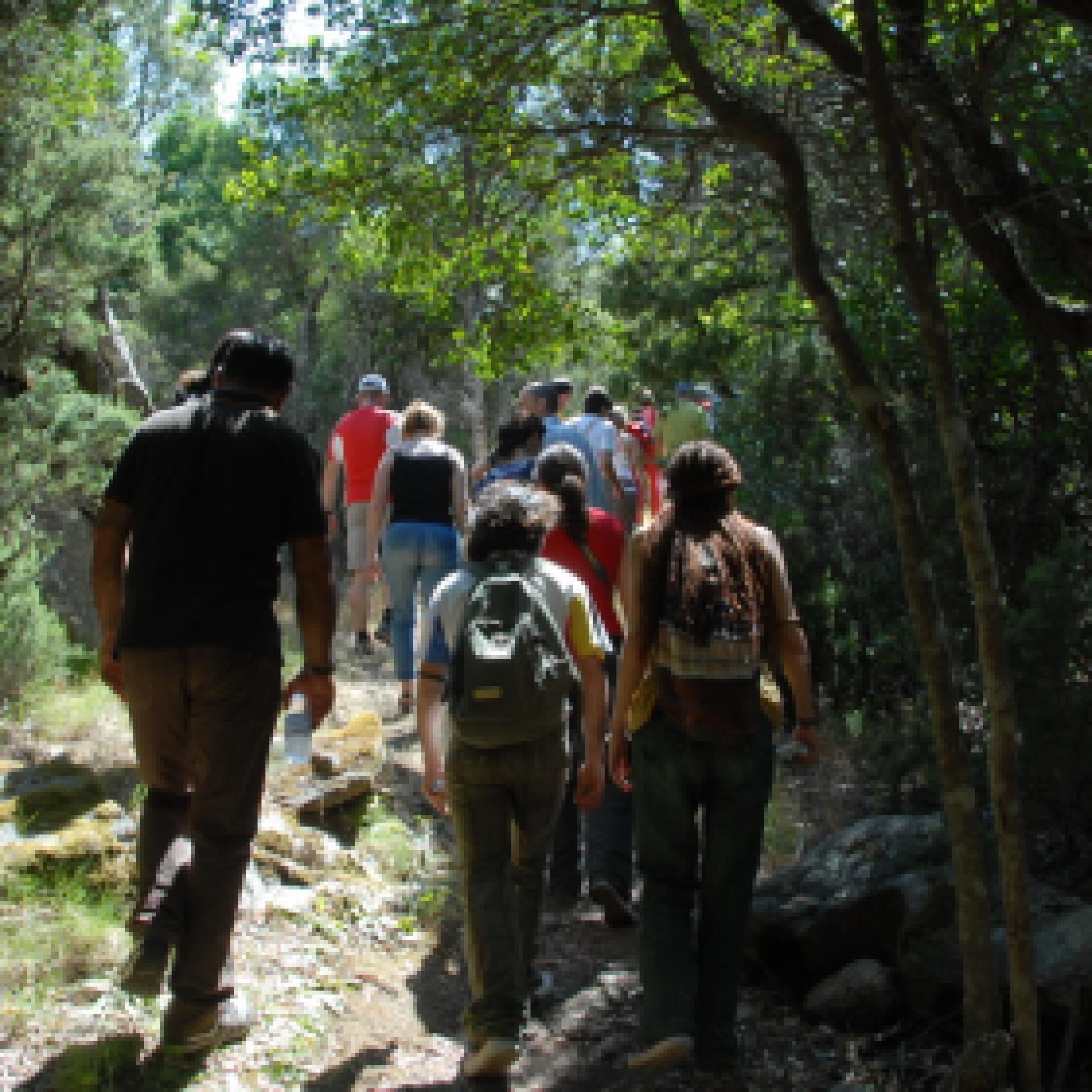
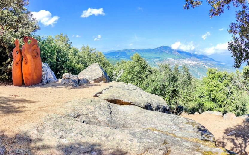
Start website main content

Educational trails

2 pathways

Una rete di sentieri didattici dislocati all’interno delle principali Foreste Demaniali gestite da Forestas, o nei parchi naturali della Sardegna, per attività di educazione ambientale: un modo efficace per unire svago ed apprendimento, all'insegna del contatto con la Natura...

Sentieri-didattici.png

Results

Sentiero Italia (Stage Z23) Santa Barbara Perdasdefogu - Cuile Arrantas

Overview of the itinerary

Sentiero Italia runs the length of the island’s eastern side, covering its most important mountains, in 28 stages.  Starting from the north: it flanks the Monte Limbara massif, crosses the limestones of Mont’Albo and Tuttavista, skirting the Gulf of Orosei, it crosses the Supramonte, Gennargentu and the Tacchi of Ogliastra and reaches Perdasdefogu.  Further south, it passes through Armungia and the Gerrei sub-region. Lastly, it touches on the villages of Burcei and San Gregorio, continuing on the Sette Fratelli massif to the old prisons of Castiadas.

General information on Sentiero Italia (Grand Italian Trail)

Sentiero Italia, or Grand Italian Trail, as also explained on the official website, is a walking route that crosses the whole of Italy, using mainly but not exclusively “registered trails”.   
In particular, in Sardinia, not all the stages of the Sentiero Italia of CAI (Italian Alpine Club) are made of trails already included in the registry of the Sardinia Trail Network (RES), either because they have not yet been tested and approved or simply because they cannot be registered as they do not meet the requirements.  However, as a whole, the Sentiero Italia is the single longest walking route currently crossing Sardinia from the north (S. Teresa Gallura, stage Z 1) to the south (Castiadas, end of stage Z 28), touching on the most fascinating mountain areas in central-eastern Sardinia: the plateau of Buddusò, Tepilora, the Cedrino river valley, the ancient forests of Montes, Perda Liana and the regional forest of Montarbu, Monte Genis, and lastly the regional forest of Settefratelli (among the many crossed by the various stages of this long hiking itinerary).

Information on this stage of the trail

This stage starts from the Santa Barbara park, a few hundred metres from the town of Perdasdefogu. Head west towards Cuccuru Tremini and the Tuerì Caves, where human bones dating back 3500 years have been found. 

Once in the territory of Escalaplano, you will come across the agritourism farm Su Cuile Is Arrantas, which offers overnight accommodation. 

This is an easy stage of 14 km with little elevation gain.

Notes

Su Cuile Is Arrantas is closed.

Lenght 12.900 m

SI Z23.gpx

Total elevation gain 375 metri

Geographical area Tacchi d'Ogliastra

Sentiero Italia (Tappa Z23) Santa Barbara Perdasdefogu - Cuile Arrantas

In sintesi

Il Sentiero Italia attraversa in lunghezza il settore orientale dell’isola toccandone i sistemi montuosi più rilevanti, in 28 tappe.  Partendo da nord: tocca il massiccio del Monte Limbara, attraversa i calcari del Mont'Albo e del Tuttavista sfiorando il Golfo di Orosei,  attraversa il Supramonte, il Gennargentu, i Tacchi dell’Ogliastra e giunge a Perdasdefogu.  Più a sud, transita da Armungia e dalla subregione del Gerrei. Infine tocca l’abitato di Burcei e San Gregorio, per continuare nel massiccio dei Sette Fratelli fino alle vecchie carceri di Castiadas.

Informazioni generali sull'itinerario sentiero Italia

Il Sentiero Italia, come spiegato anche nel sito ufficiale, è un itinerario (o Cammino) lungo tutta l'Italia, che utilizza prevalentemente ma non esclusivamente "sentieri accatastati".   
In particolare, in Sardegna, non tutte le tappe del Sentiero Italia del CAI coincidono con sentieri già inseriti nel catasto della Rete Escursionistica della Sardegna (RES), perché non hanno ancora superato le verifiche di percorribilità oppure semplicemente perché non possono essere accatastati non avendone i requisiti.  Tuttavia, nel suo insieme, il Sentiero Italia rappresenta l'unica, la più grande dorsale escursionistica che attraversa attualmente la nostra Isola da nord (S. Teresa Gallura, tappa Z 1) a sud (Castiadas, fine tappa Z 28) toccando le aree montane della Sardegna centro-Orientale più affascinanti: l'altopiano di Buddusò, Tepilora, la valle del Cedrino, i boschi vetusti di Montes, Perda Liana e la foresta demaniale di Montarbu, il Monte Genis, e infine la foresta demaniale di Settefratelli (tra le tante attraversate dal lungo itinerario escursionistico a tappe).

Info sul percorso di questa tappa

Si parte dal parco di Santa Barbara, a poche centinaia di metri dal centro abitato di Perdasdefogu. Si procede in direzione ovest verso Cuccuru Tremini e le Grotte di Tuerì dove furono ritrovate ossa umane risalenti a 3500 anni fa. 

Arrivando nel territorio di Escalaplano si incontra l’agriturismo Su Cuile Is Arrantas dove è possibile pernottare. 

La tappa facile misura 14 km con poco dislivello.


Informazioni utili

Lungo il percorso non sarà sempre presente la copertura telefonica

Lenght 12.900 m

SI Z23.gpx

Total elevation gain 375 metri

Geographical area Tacchi d'Ogliastra

Sentiero Italia (Stage Z22) San’Antonio di Jerzu - Perdasdefogu

Overview of the itinerary

Sentiero Italia runs the length of the island’s eastern side, covering its most important mountains, in 28 stages.  Starting from the north: it flanks the Monte Limbara massif, crosses the limestones of Mont’Albo and Tuttavista, skirting the Gulf of Orosei, it crosses the Supramonte, Gennargentu and the Tacchi of Ogliastra and reaches Perdasdefogu.  Further south, it passes through Armungia and the Gerrei sub-region. Lastly, it touches on the villages of Burcei and San Gregorio, continuing on the Sette Fratelli massif to the old prisons of Castiadas.

General information on Sentiero Italia (Grand Italian Trail)

Sentiero Italia, or Grand Italian Trail, as also explained on the official website, is a walking route that crosses the whole of Italy, using mainly but not exclusively “registered trails”.   
In particular, in Sardinia, not all the stages of the Sentiero Italia of CAI (Italian Alpine Club) are made of trails already included in the registry of the Sardinia Trail Network (RES), either because they have not yet been tested and approved or simply because they cannot be registered as they do not meet the requirements.  However, as a whole, the Sentiero Italia is the single longest walking route currently crossing Sardinia from the north (S. Teresa Gallura, stage Z 1) to the south (Castiadas, end of stage Z 28), touching on the most fascinating mountain areas in central-eastern Sardinia: the plateau of Buddusò, Tepilora, the Cedrino river valley, the ancient forests of Montes, Perda Liana and the regional forest of Montarbu, Monte Genis, and lastly the regional forest of Settefratelli (among the many crossed by the various stages of this long hiking itinerary).

Information on this stage of the trail

To reach the starting point, from the accommodation facility – the hotel restaurant Rifugio d’Ogliastra – return to the country church located 800 m away, at the end of the previous stage. 

The trail sets off slightly uphill in a south-westerly direction, on a wide, easy dirt track for about 2 km skirting the mountain on your right, then turns left onto an uphill path until it reaches and crosses road SP 23. 

Walk to the right of the road, following the CAI signs, paying attention to several intersections before reaching the car park of the wind farm. Here you can admire the artwork by local artist Maria Lai, ‘la cattura dellala del vento’, a tribute to the use of renewable energy sources. On the right, beyond a gate that is always open, the path continues among the wind turbines. After about 1.5 km, to your left you will see the summit of Monte Codi which has a military and civilian radar. Continue on a dirt track, used for turbine maintenance, for about 2 km. After passing two gates on your right, making a diversion of about 400 m, you will come to a small, dammed reservoir where you can cool off, especially in the hot Sardinian summer. 

Leaving the wind turbine area behind you, continue on for about 100 m alongside the provincial road, then return to the path that will take you down to the valley. The path continues steadily downhill. Shortly before reaching the valley floor, we recommend taking a diversion of about 300 m to the right, to the bank of the stream where stands an impressive thousand-year-old phillyrea tree, with a circumference of over 5 metres (in the Sardinian language, filueverru or arridellu) N39.71043° E9.45934° 

Back on the main trail, head downward until you cross a small stream. Here you will find a small gate in the pasture fence (remember to always close gates after passing through). Past the gate, continue on a narrow path with a steady uphill slope, made gentler by a few bends, walking for about 20 minutes. 

At the top of the path you will come to a clearing with an interesting archaeological site that is still being explored. Next to the site are three restored pinnetos (shepherds’ huts), which can also be used as camping spots, and several ancient livestock enclosures. From here you can admire the entire valley below, crossed by Rio su Ludu, a tributary of the Rio Flumineddu

Leaving this site, an uphill dirt track leads to the sheepfold of Costantino Carta, who is to be commended for having restored the old shepherds’ huts, the pinnetos

Continuing on after about 300 m, you will find another archaeological site with the ruins of several nuraghi, a beautiful sacred well and several circular bases, mostly covered with earth. The trail continues on a dirt road, which in about 2 km arrives in the vicinity near of the sports field (where there is a water fountain), signalling that you are near the end of the stage. 

The stage ends 800 m further on in the northern outskirts of the village, at the crossroads leading to the Santa Barbara forest. It is about 800 m from the end of the stage to the village centre. 

In Perdasdefogu there are several B&Bs and also a small hotel, grocery shops, etc. Bear in mind that the bars close in the afternoon. The village is small and has a nearby military base. 

Notes

There are no drinking water sources along the route of the stage. There are only two water fountains: one at the stage starting point near the small church of San Antonio and the other after the sports field of Perdasdefogu.

Lenght 19.200 m

SI Z22.gpx

Total elevation gain 441 metri

Sentiero Italia (Tappa Z22) San’Antonio di Jerzu - Perdasdefogu

In sintesi

Il Sentiero Italia attraversa in lunghezza il settore orientale dell’isola toccandone i sistemi montuosi più rilevanti, in 28 tappe.  Partendo da nord: tocca il massiccio del Monte Limbara, attraversa i calcari del Mont'Albo e del Tuttavista sfiorando il Golfo di Orosei,  attraversa il Supramonte, il Gennargentu, i Tacchi dell’Ogliastra e giunge a Perdasdefogu.  Più a sud, transita da Armungia e dalla subregione del Gerrei. Infine tocca l’abitato di Burcei e San Gregorio, per continuare nel massiccio dei Sette Fratelli fino alle vecchie carceri di Castiadas.

Informazioni generali sull'itinerario sentiero Italia

Il Sentiero Italia, come spiegato anche nel sito ufficiale, è un itinerario (o Cammino) lungo tutta l'Italia, che utilizza prevalentemente ma non esclusivamente "sentieri accatastati".   
In particolare, in Sardegna, non tutte le tappe del Sentiero Italia del CAI coincidono con sentieri già inseriti nel catasto della Rete Escursionistica della Sardegna (RES), perché non hanno ancora superato le verifiche di percorribilità oppure semplicemente perché non possono essere accatastati non avendone i requisiti.  Tuttavia, nel suo insieme, il Sentiero Italia rappresenta l'unica, la più grande dorsale escursionistica che attraversa attualmente la nostra Isola da nord (S. Teresa Gallura, tappa Z 1) a sud (Castiadas, fine tappa Z 28) toccando le aree montane della Sardegna centro-Orientale più affascinanti: l'altopiano di Buddusò, Tepilora, la valle del Cedrino, i boschi vetusti di Montes, Perda Liana e la foresta demaniale di Montarbu, il Monte Genis, e infine la foresta demaniale di Settefratelli (tra le tante attraversate dal lungo itinerario escursionistico a tappe).

Info sul percorso di questa tappa

Per raggiungere il punto di partenza ci si sposta dal punto di accoglienza, l'hotel Ristorante Rifugio d'Ogliastra, verso la chiesa campestre situata 800 metri più avanti dove c'è il punto di arrivo della tappa precedente. 

Si parte in leggera salita in direzione sud-ovest, si cammina su una sterrata larga e comoda per circa 2 km girando intorno alla montagna che si trova alla nostra destra, si svolta a sinistra in un sentiero in salita fino a raggiungere ed attraversare la S.P. 23. 

Si cammina a destra della provinciale seguendo le indicazioni della segnaletica CAI, facendo attenzione a molteplici incroci che si trovano prima di raggiungere il parcheggio del parco eolico. Qui si può ammirare l'opera d'arte dell'artista ulassase Maria Lai, "la cattura dell'ala del vento", omaggio all'utilizzo delle fonti di energia rinnovabili. Sulla destra, superato un cancello sempre aperto, si cammina in mezzo alle pale eoliche. Dopo circa 1,5 km sulla sx si può vedere la cima, di Monte Codi dove c'è un radar militare e civile. Si prosegue su strada sterrata, utilizzata dal personale per fare manutenzione alle pale, per circa 2 km. Superati due cancelli alla nostra destra, facendo una deviazione di circa 400 metri si trova una piccola diga dove si può trovare refrigerio specialmente nella calda estate sarda. 

Finito il tratto dove sono dislocate le pale eoliche si prosegue per circa 100 metri a lato della provinciale, per rientrare subito dopo sul sentiero che ci porterà giù fino a valle. Il sentiero prosegue in costante discesa e poco prima di arrivare al fondo valle sulla destra è vivamente consigliata una deviazione di circa 300 metri, per arrivare in riva al rio dove si può ammirare un albero millenario di fillirea, con la circonferenza di oltre 5 metri (in Sardo filueverru o arridellu) N39.71043° E9.45934° 

Rientrati sul sentiero principale, si scende fino ad attraversare un piccolo torrente. In questo punto si trova una piccola porticina per non far uscire gli animali, (bisogna chiudere sempre il cancello dopo il passaggio) si attraversa e si prosegue per uno stretto sentiero in costante salita, addolcita da alcuni tornanti, camminando per circa 20 minuti. 

Arrivati in cima al sentiero si sbuca in una radura dove c'è un bel sito archeologico ancora in fase di studio. Accanto al sito si trovano tre pinnetos ristrutturati (che potranno essere utilizzati anche come bivacchi) e vari recinti che usavano i nostri avi come ricovero per le mandrie. Da qui si può ammirare tutta la vallata sottostante dove scorre un affluente del Rio Flumineddu conosciuto come Rio su Ludu

Lasciato il sito ci aspetta una strada sterrata in salita, che ci porta all'ovile del pastore Costantino Carta, al quale va il merito di essersi dato da fare per ristrutturare i pinnetos. 

Proseguendo dopo circa 300 metri, c'è un altro sito archeologico con i ruderi di alcuni  nuraghi, un bel pozzo sacro e vari basamenti circolari per lo più ricoperti di terra. Il sentiero prosegue su una larga sterrata carrabile, in direzione sud, per arrivare dopo circa 2 km in prossimità del campo sportivo (dove c'è una fontanella d'acqua) che ci avvisa che siamo vicino al fine tappa. 

La tappa si conclude 800 metri più avanti in periferia a nord del paese, nell'incrocio che ci porta al bosco di Santa Barbara. Dal fine tappa al centro del paese ci sono circa 800 metri. 

A Perdasdefogu ci sono vari B&B e anche un piccolo hotel, negozi di alimentari ecc. Da tener presente che i bar di pomeriggio chiudono. Il paese è piccolo ed sede di una base militare. 

Note

Lungo il tragitto della tappa non c'è acqua. Le uniche fonti si trovano una alla partenza nei pressi della chiesetta di San Antonio e l'altra dopo il campo sportivo di Perdasdefogu.

Informazioni utili

Lungo il percorso non sarà sempre presente la copertura telefonica

Lenght 19.200 m

SI Z22.gpx

Total elevation gain 441 metri

Sentiero Italia (Stage Z21B) Ulassai - Jerzu

Overview of the itinerary

Sentiero Italia runs the length of the island’s eastern side, covering its most important mountains, in 28 stages.  Starting from the north: it flanks the Monte Limbara massif, crosses the limestones of Mont’Albo and Tuttavista, skirting the Gulf of Orosei, it crosses the Supramonte, Gennargentu and the Tacchi of Ogliastra and reaches Perdasdefogu.  Further south, it passes through Armungia and the Gerrei sub-region. Lastly, it touches on the villages of Burcei and San Gregorio, continuing on the Sette Fratelli massif to the old prisons of Castiadas.

General information on Sentiero Italia (Grand Italian Trail)

Sentiero Italia, or Grand Italian Trail, as also explained on the official website, is a walking route that crosses the whole of Italy, using mainly but not exclusively “registered trails”.   
In particular, in Sardinia, not all the stages of the Sentiero Italia of CAI (Italian Alpine Club) are made of trails already included in the registry of the Sardinia Trail Network (RES), either because they have not yet been tested and approved or simply because they cannot be registered as they do not meet the requirements.  However, as a whole, the Sentiero Italia is the single longest walking route currently crossing Sardinia from the north (S. Teresa Gallura, stage Z 1) to the south (Castiadas, end of stage Z 28), touching on the most fascinating mountain areas in central-eastern Sardinia: the plateau of Buddusò, Tepilora, the Cedrino river valley, the ancient forests of Montes, Perda Liana and the regional forest of Montarbu, Monte Genis, and lastly the regional forest of Settefratelli (among the many crossed by the various stages of this long hiking itinerary).

Information on this stage of the trail

The original stage was quite long, more than 28 km, so it has been split into two parts. 

Route 21B is the shortest section, about 10 km, ending in the small town of Ulassai, home to artist Maria Lai and a rock climbing mecca with many bolted routes of varying levels of difficulty. 

Leaving the town of Ulassai, follow a short stretch of via S’Arenargiu, where a weaving workshop is located, and a little further on, the fork for Monte Matzeu, which you should leave to your right to continue on a dirt track in a southerly direction. You will then take a path, still heading south, through a beautiful forest with the route sufficiently marked with stone cairns and, passing alongside Monte Tisiddu, you will come to a dirt track that leads, after passing several forks, to an easy path heading south-east. In this section you will find two springs, the first near a hut and the second near a small wooden cabin that can be used as a camping point if necessary. 

After passing alongside road SP 13, cross it to continue uphill on a stretch of paved road. At a crossroads, turn right in a westerly direction. Once you have passed a gate with a side passage and the fork leading to the fire lookout, you will find a fork with a scenic spot on the right. 

Back to the fork, continue in a westerly direction and then in a south-westerly direction towards the hotel-restaurant Rifugio d’Ogliastra (open all year round). You will then arrive at the stop point in the square of the country church of Sant’Antonio of Jerzu where there is a drinking fountain.

Lenght 9.300 m

SI Z21-B.gpx

Total elevation gain 403 metri

Sentiero Italia (Tappa Z21B) Ulassai - Jerzu

In sintesi

Il Sentiero Italia attraversa in lunghezza il settore orientale dell’isola toccandone i sistemi montuosi più rilevanti, in 28 tappe.  Partendo da nord: tocca il massiccio del Monte Limbara, attraversa i calcari del Mont'Albo e del Tuttavista sfiorando il Golfo di Orosei,  attraversa il Supramonte, il Gennargentu, i Tacchi dell’Ogliastra e giunge a Perdasdefogu.  Più a sud, transita da Armungia e dalla subregione del Gerrei. Infine tocca l’abitato di Burcei e San Gregorio, per continuare nel massiccio dei Sette Fratelli fino alle vecchie carceri di Castiadas.

Informazioni generali sull'itinerario sentiero Italia

Il Sentiero Italia, come spiegato anche nel sito ufficiale, è un itinerario (o Cammino) lungo tutta l'Italia, che utilizza prevalentemente ma non esclusivamente "sentieri accatastati".   
In particolare, in Sardegna, non tutte le tappe del Sentiero Italia del CAI coincidono con sentieri già inseriti nel catasto della Rete Escursionistica della Sardegna (RES), perché non hanno ancora superato le verifiche di percorribilità oppure semplicemente perché non possono essere accatastati non avendone i requisiti.  Tuttavia, nel suo insieme, il Sentiero Italia rappresenta l'unica, la più grande dorsale escursionistica che attraversa attualmente la nostra Isola da nord (S. Teresa Gallura, tappa Z 1) a sud (Castiadas, fine tappa Z 28) toccando le aree montane della Sardegna centro-Orientale più affascinanti: l'altopiano di Buddusò, Tepilora, la valle del Cedrino, i boschi vetusti di Montes, Perda Liana e la foresta demaniale di Montarbu, il Monte Genis, e infine la foresta demaniale di Settefratelli (tra le tante attraversate dal lungo itinerario escursionistico a tappe).

Info sul percorso di questa tappa

La tappa originaria essendo abbastanza lunga, oltre 28 km, si è preferito suddividerla in due parti. 

La 21B rappresenta il tratto più corto, circa 10 km e ben si presta per accogliere l’escursionista a inizio tappa nel centro abitato di Ulassai, il paese dell’artista Maria Lai e località con numerose vie su parete con vari gradi di difficoltà. 

Lasciato il centro abitato di Ulassai si percorre un breve tratto di via S’Arenargiu, dove si trova il laboratorio di tessitura, ed poco più avanti il bivio per Monte Matzeu che lasceremo alla nostra destra per proseguire su una sterrata in direzione Sud. Successivamente si percorre un sentiero, sempre in direzione Sud, che attraversa un bel bosco con il percorso sufficientemente individuato con omini di pietra e, costeggiando il Monte Tisiddu si arriva a percorrere una sterrata che ci porta, dopo aver superato alcuni bivi, ad un agevole sentiero in direzione Sud-Est. In questo tratto troviamo due sorgenti, la prima in prossimità di un capanno e la seconda nei pressi di una casetta in legno che in caso di necessità può essere utilizzata come bivacco. 

Dopo aver costeggiato la SP 13 la si attraversa per proseguire in salita su tratto di strada cementata. Arrivati ad un quadrivio si prende a destra in direzione Ovest. Superato un cancello con passaggio laterale ed il bivio che porta alla vedetta antincendio troviamo un bivio con una zona panoramica sulla destra. 

Ritornati al bivio continuiamo in direzione Ovest, successivamente verso Sud e poi in direzione Sud-Ovest verso l’hotel Ristorante Rifugio d'Ogliastra (aperto tutto l’anno) e successivamente arrivare al posto tappa nel piazzale della chiesa campestre di Sant’Antonio di Jerzu dove è presente una fontanella.

Informazioni utili

Lungo il percorso non sarà sempre presente la copertura telefonica

Lenght 9.300 m

SI Z21-B.gpx

Total elevation gain 403 metri

Contiene carte
Spento