The route was created as part of a collaboration between the GAL Ogliastra and the FoReSTAS Agency, with the aim of offering hikers an immersive experience in the natural and scenic beauty of the Ogliastra area. The itinerary features points of interest along every section. You can choose your starting stage and build your own customized route, traveling from north to south or from south to north. The direction of travel may change, but the quality of the landscape remains unchanged.
The path
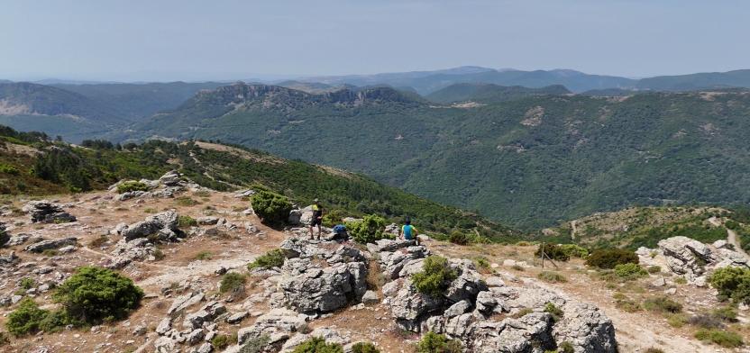
The route alternates between sections of varying difficulty, combining relaxing, accessible stretches with more demanding climbs and panoramic viewpoints.
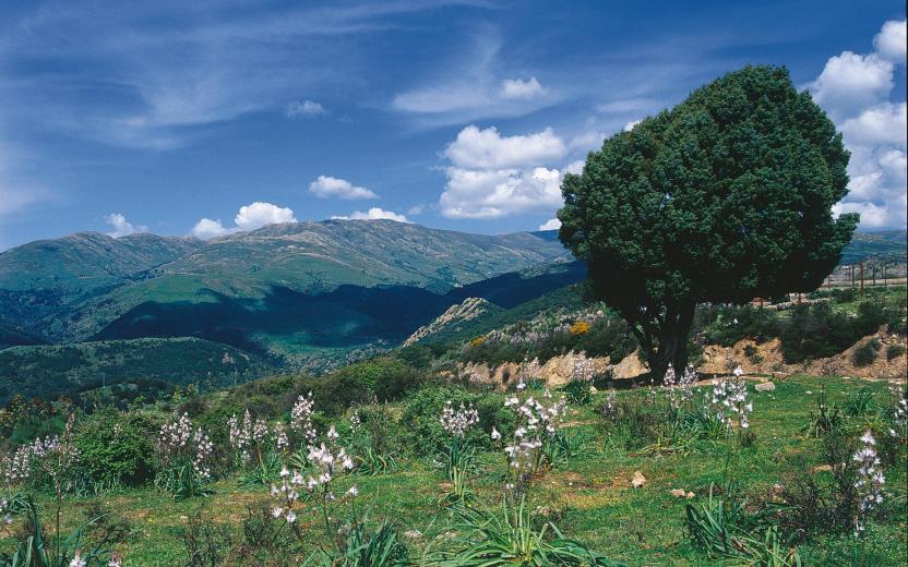
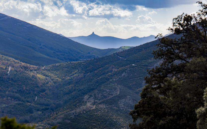
It winds through a wide range of natural environments—dense forests, mountain ridges, limestone plateaus, and reforested areas—in a constant rhythm of ascents and descents that inspire both movement and discovery. The trail unfolds in a landscape shaped by the interaction between nature and traditional human activities, marked by archaeological remains and traces of a land-use system rooted in pastoralism and rural life.
Views of the sea, flowing streams, quiet clearings, and rock formations sculpted by time enrich the experience, offering scenic glimpses and a pleasant sense of deep connection with the natural surroundings.
Although the route does not directly pass through the main towns, it still offers the opportunity to detour to visit them and discover their traditions.It is an immersive journey that encourages walking with open eyes and a mindful step.
From Villagrande Station to Arzana
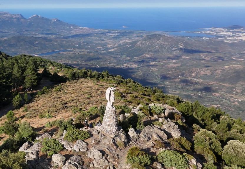
This stage stands out for its tranquility and accessibility, offering an ideal route to fully enjoy the landscape without excessive physical effort. The ascent to Monte Idolo, which reaches an altitude of 1,240 meters, is gradual and rewarding: from the summit, a wide panorama opens up over the coastal strip of Ogliastra. The sea, already visible in the distance during the arrival in Ulassai on a previous stage, appears closer and more defined here, offering a spectacular view of the eastern coastline, framed by the deep blue of the Mediterranean.
The trail unfolds along a mix of paths and dirt roads, crossing holm oak woods and pine forests—the latter a result of reforestation efforts in the 1960s and 1970s.
Once at the summit, you can either approach the statue of Saint Michael the Archangel or postpone the visit to the following stage. From here, the path continues toward the area of Genna e Frongia and then descends to the town of Arzana, the final destination of the day.