The route was created as part of a collaboration between the GAL Ogliastra and the FoReSTAS Agency, with the aim of offering hikers an immersive experience in the natural and scenic beauty of the Ogliastra area. The itinerary features points of interest along every section. You can choose your starting stage and build your own customized route, traveling from north to south or from south to north. The direction of travel may change, but the quality of the landscape remains unchanged.
The path
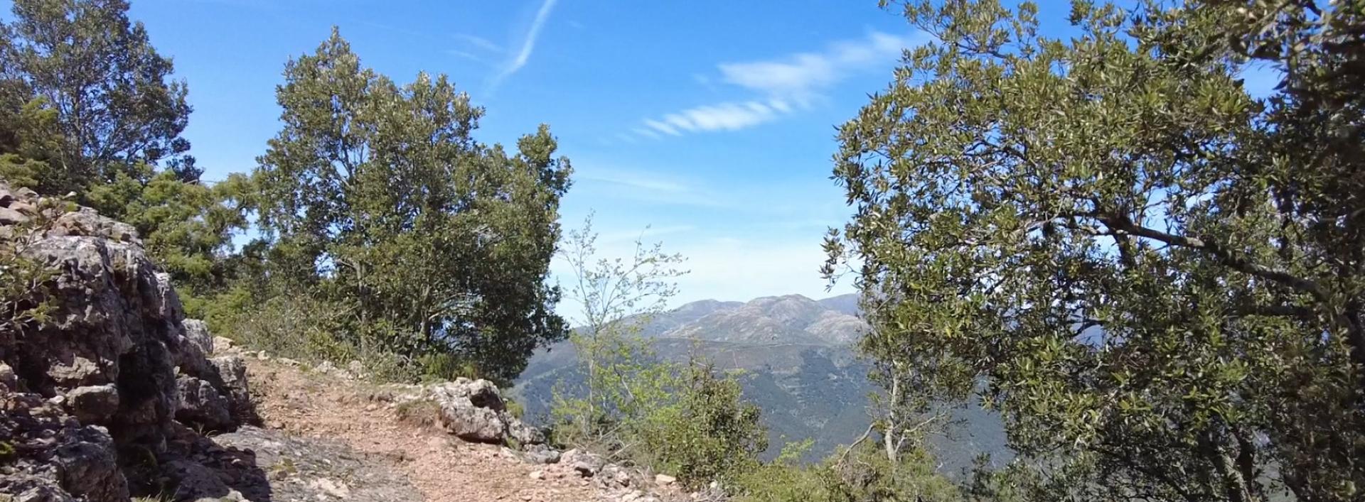
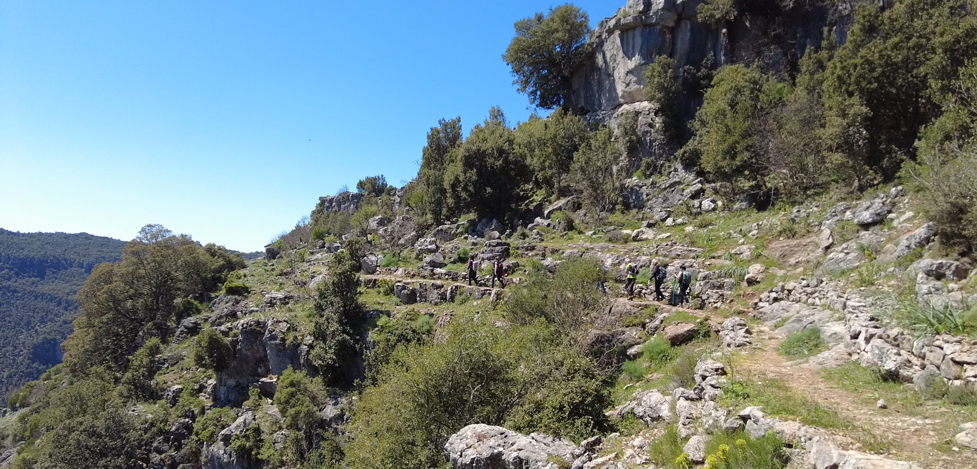
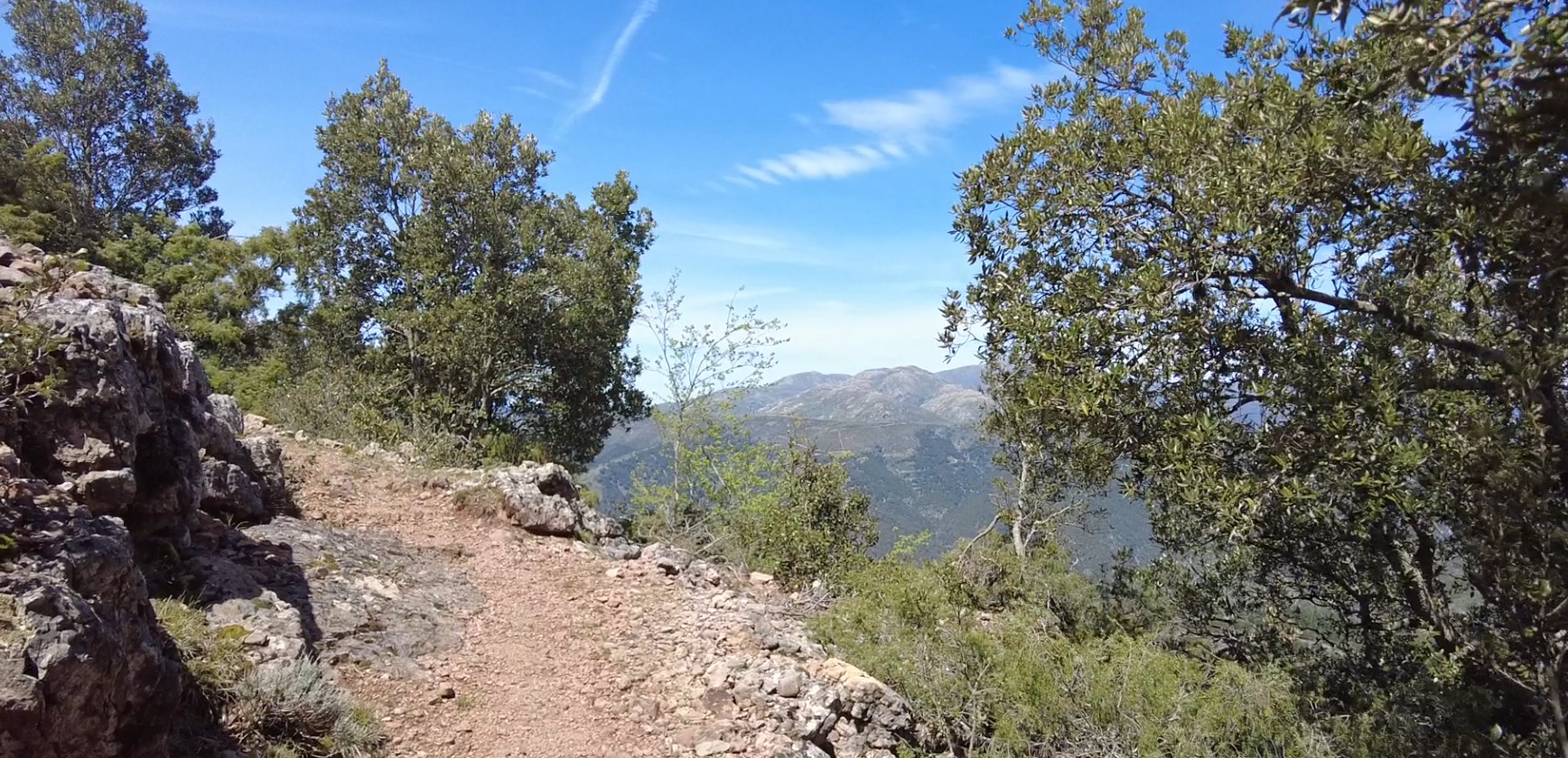
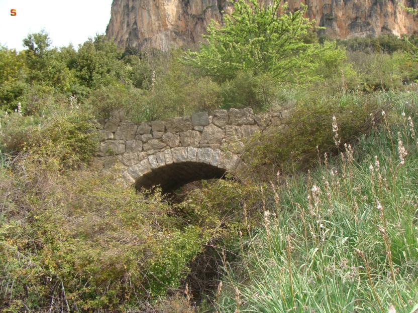
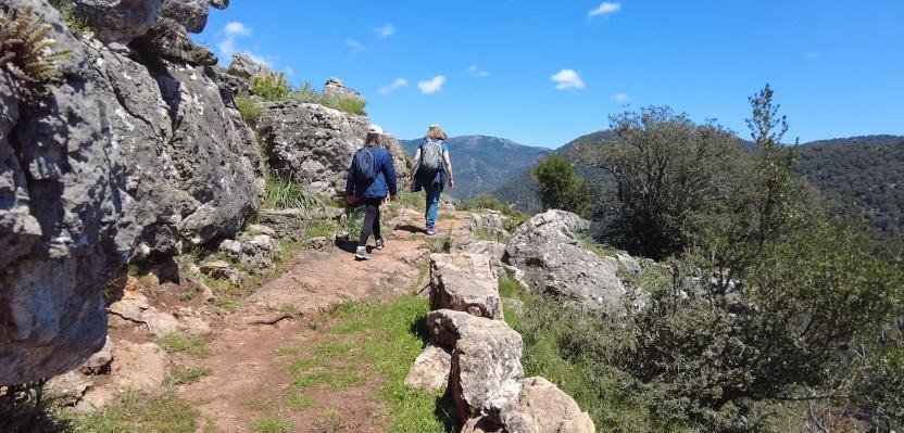
The path offers moments of quiet alternate with opportunities for active discovery, among limestone cliffs, climbing routes, and via ferratas.
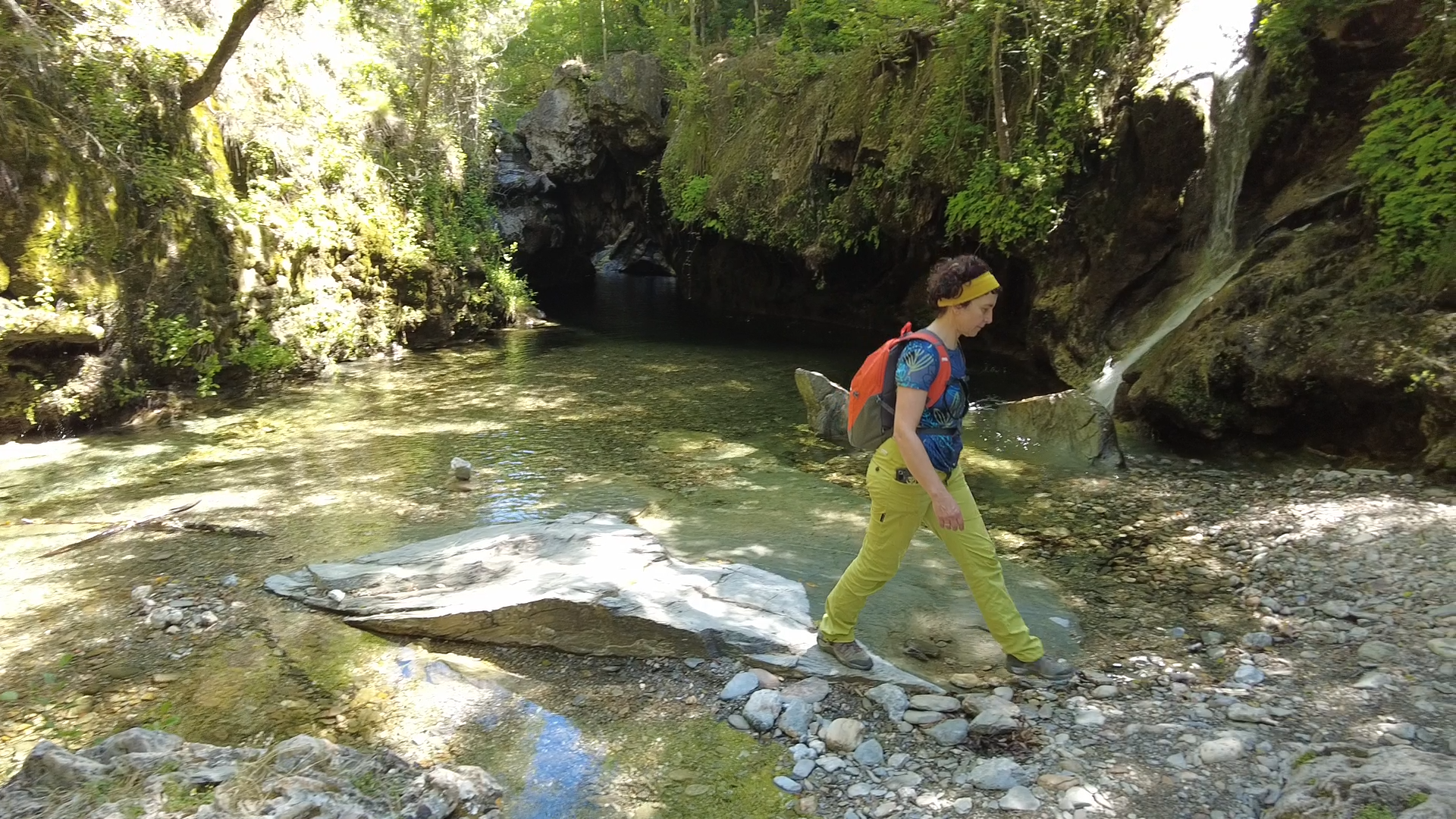
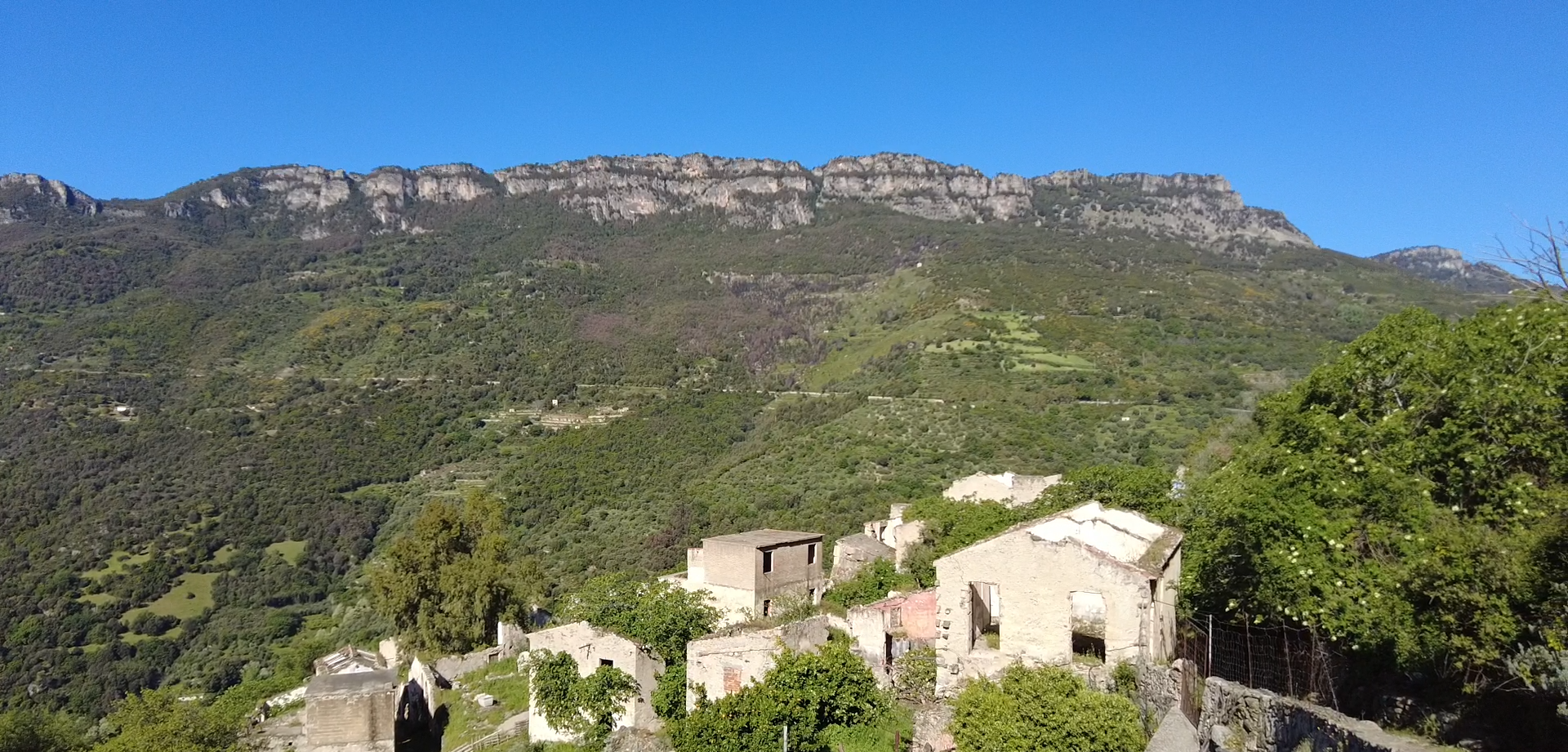
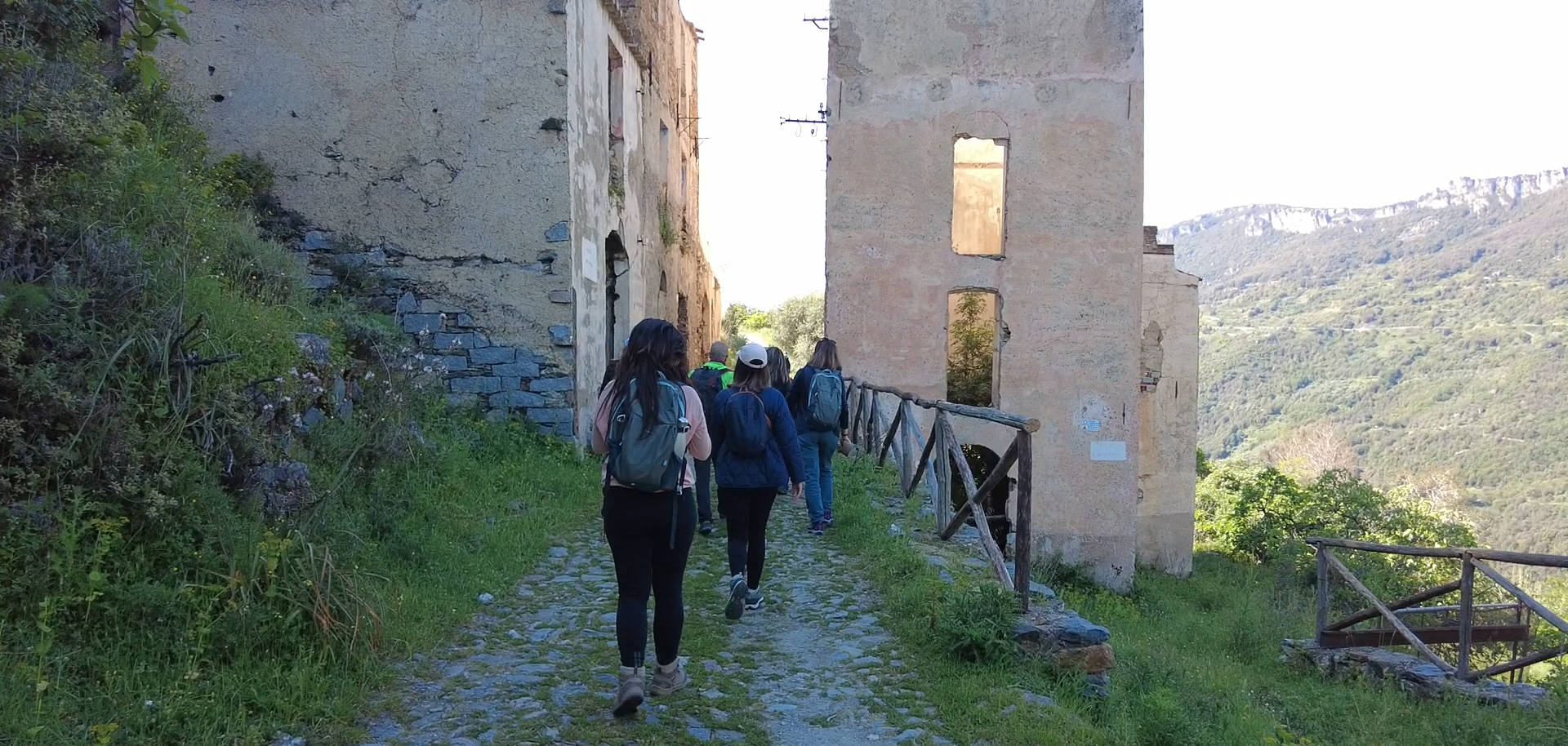
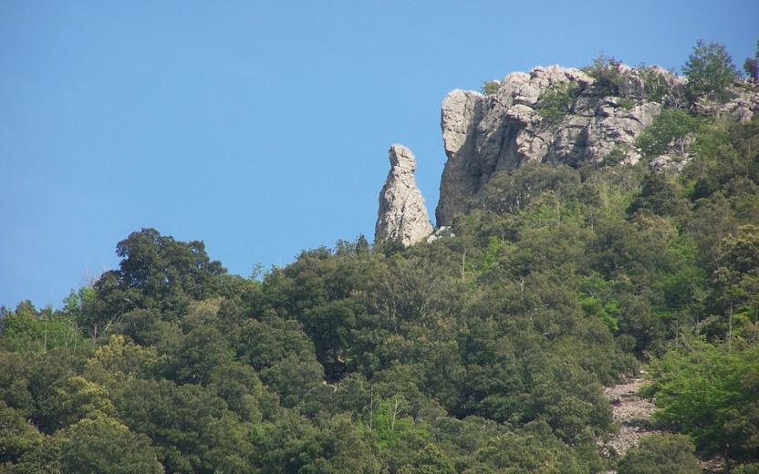
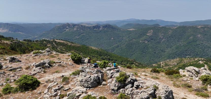
The route passes through places full of charm such as the Scala di San Giorgio (16), the abandoned village of Osini Vecchio (17), stone sheepfolds immersed in greenery, and important archaeological sites like Serbissi (30). The landscapes continually change: from olive groves and agricultural inland areas to dolomitic formations and holm oak forests, up to limestone plateaus from which the majestic Perda Liana (37) can be glimpsed. The journey crosses shady and lush environments such as the Montarbu Forest (35), leading to the clear waters of the Niala Pools (Ussassai). It is a path that invites slowness, a sensory immersion into the most authentic Sardinia, among unspoiled nature, ancient memories, and silences that tell stories. The final stage of the journey, long and demanding, represents the most intense synthesis of the entire route. It winds through the Montarbu Forest (35), climbs to Punta Margiani Pubusa (36) with its spectacular panoramas, and skirts closely to the majestic Perda Liana. Among panoramic peaks like Cuccuru ‘e Muvroni (38) and Erdorrù (39), and stretches overlooking the Alto Flumendosa Lake, the trail alternates descents and steep climbs until reaching the vicinity of the SIC Rio Sicaderba, where a restored old railway station marks the end of the path.
From Gairo Taquisara to Niala
A short and relatively easy stage, yet extraordinarily rich in panoramic views and landscapes of great natural value.
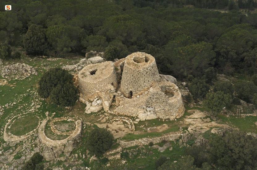
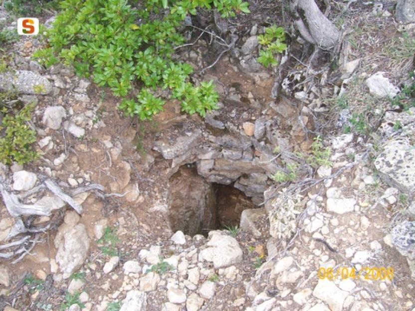
This section also offers an immersion in history and archaeology, thanks to the opportunity to visit the archaeological area of Is Tostoinus (23). Here, you can enjoy a pleasant picnic break in the namesake equipped area, made welcoming by a structure inspired by ancient sheepfolds (barracus) and comfortable tables with seating.
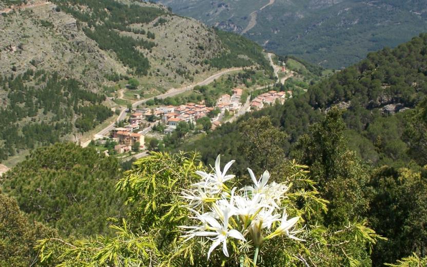
After departing from Gairo Taquisara, the route begins with an ascent—the only truly challenging part of the trail. Upon reaching the summit, a suggestive limestone plateau opens before your eyes, where you can glimpse the famous Perda Liana “tacco,” one of the most iconic symbols of the Ogliastra landscape.
Past the halfway point, you cross the lush Montarbu Forest (35), an area of high naturalistic interest.
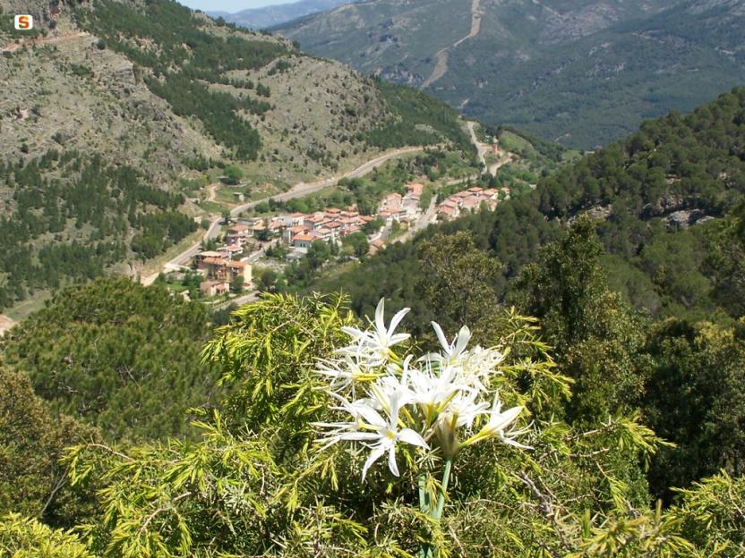
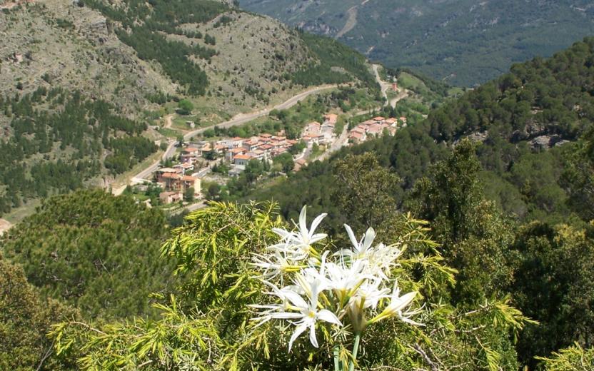
The stage ends in Niala near the Su Tuvu Nieddu pools (32) — also known as the natural pools of Niala — a place of absolute tranquility, ideal for relaxing and, depending on the season, taking a refreshing dip immersed in nature.
Tips
Some sections of the route may be difficult to follow intuitively. Therefore, it is recommended to have the GPX track and consult it, especially near the archaeological area of Is Tostoinus (23), where in some sections the trail on the ground can be unclear, particularly within the archaeological complex.